Cog Railway: 3.0 miles / Gulfside Trail: 2.5 miles / Mount Jefferson Loop: 0.6 miles / Gulfside Trail: 1.5 miles / Jewell Trail: 3.0 miles
Total Miles: 10.7 (4,950' elevation gained)
Trip Report:
- Sarge had been waiting about two months to get Rockpile #50 and Sunday he was rewarded for his patience. Temperatures were mild above treeline, mid to high twenties which is quite warm for late January, and the wind was nonexistent. To add to our good fortune, we were treated with undercast, so it was a "unicorn' type of day in the alpine zone.
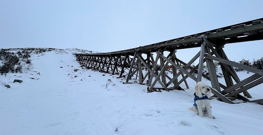
- We took the express way up to the summit, the Cog Railway Path, it's a steady steep climb along an open swath that parallels the tracks over an average grade around 25%.
- At Marshfield Station I put on my microspikes and let Sarge set the pace as we made out way up the packed styrofoam snow that had a light dusting over it making for ideal winter conditions.
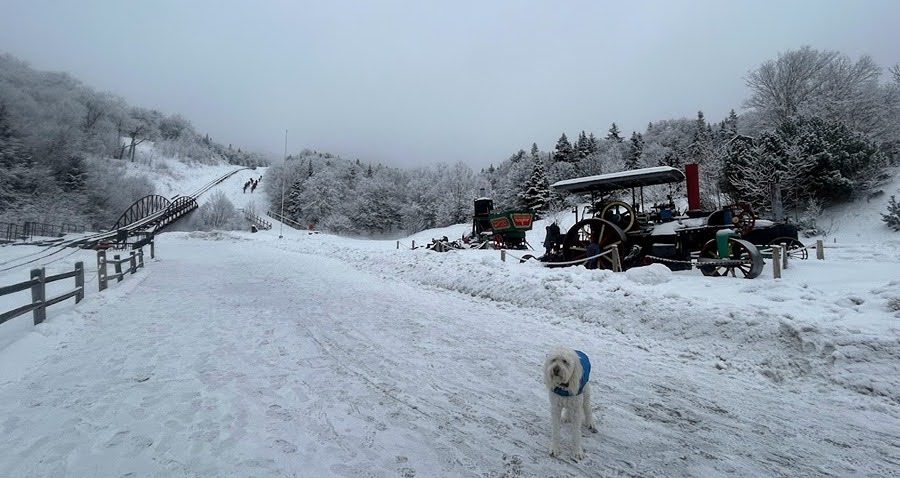
Sarge at Marshfield Station waiting for me to put my spikes on
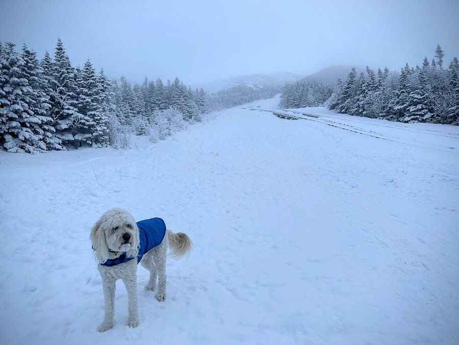
Looks gloomy as we head up but we know what waits above the clouds!
Break time at Jacob's Ladder.
- Past Jacob's ladder we hustled by the two steep no fall zones, they were easily navigated, but a few more good dumps of snow and a melt/freeze pattern could change that.
- Once past the steeps we enjoyed the last mile taking in the undercast views as we made our way to the summit.
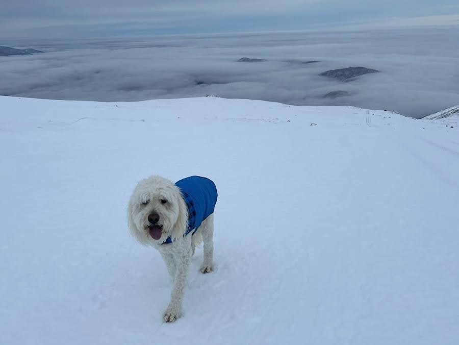
Sarge waits for daddy to catch up
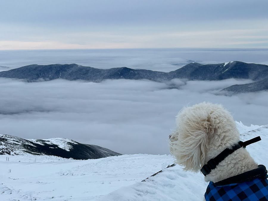
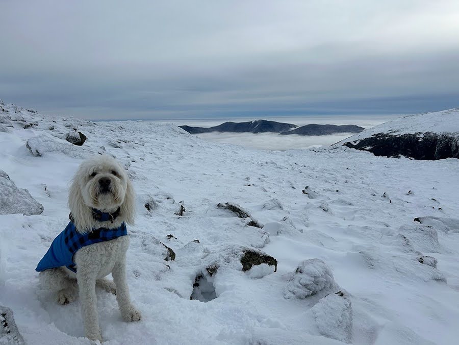
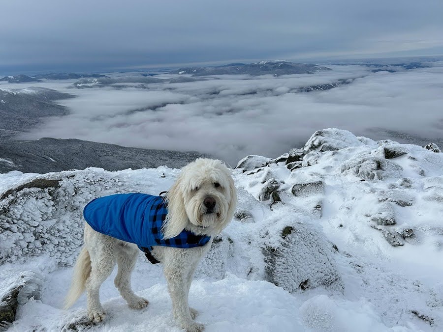
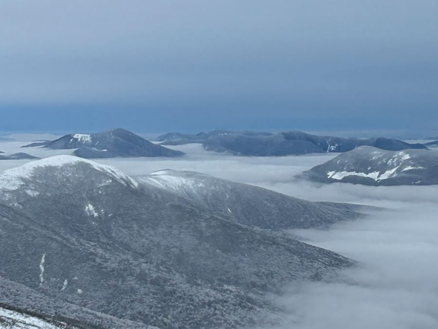
Undercast to the west of us
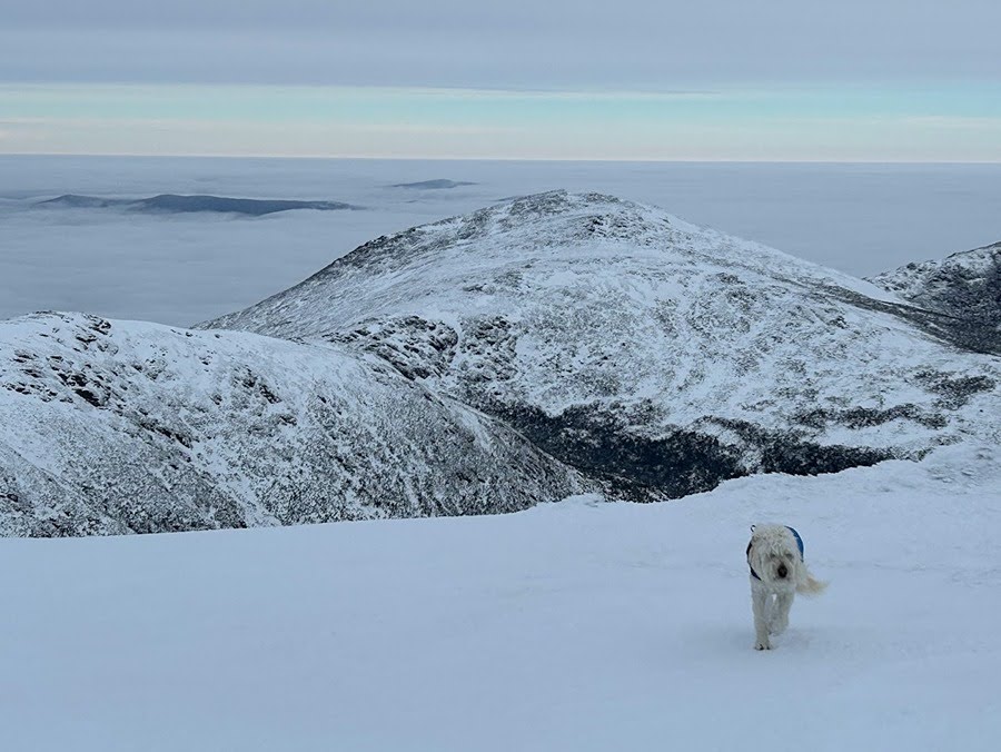
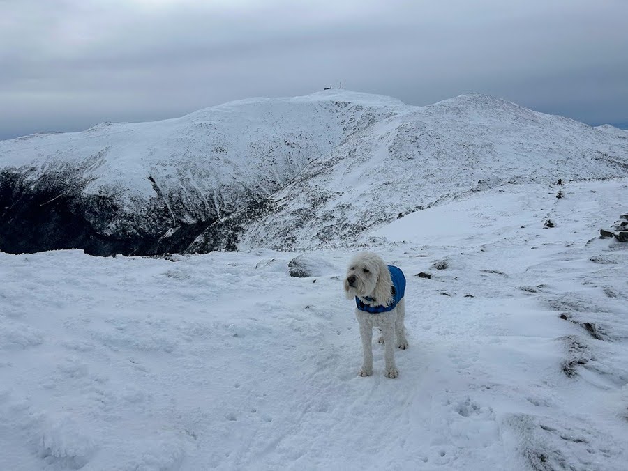
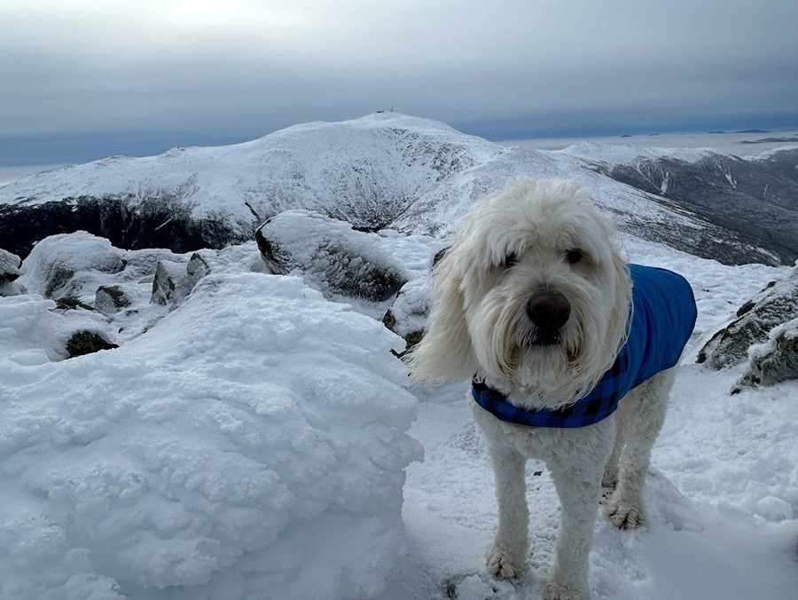
Sarge hiking up Mount Washington's summit cone with Mount Jefferson behind him
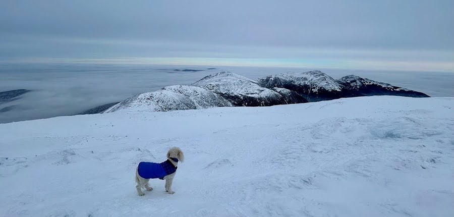
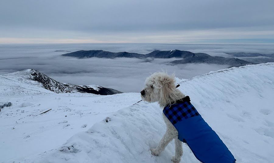
Sarge takes in the view of the North Presidential Range
Clay, Jefferson, Adams, Madison (left to right)
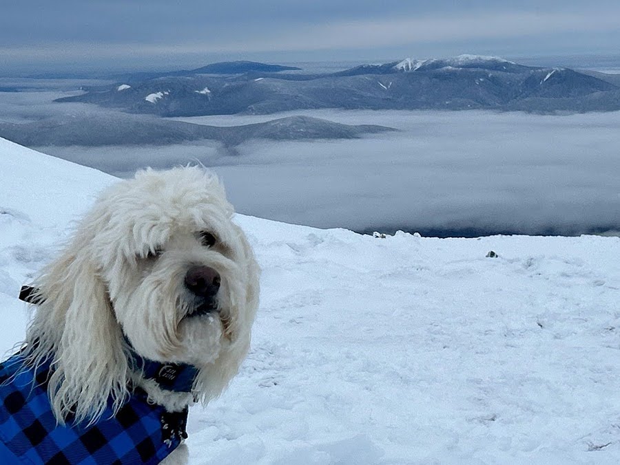
Pemi Wilderness rising above the clouds
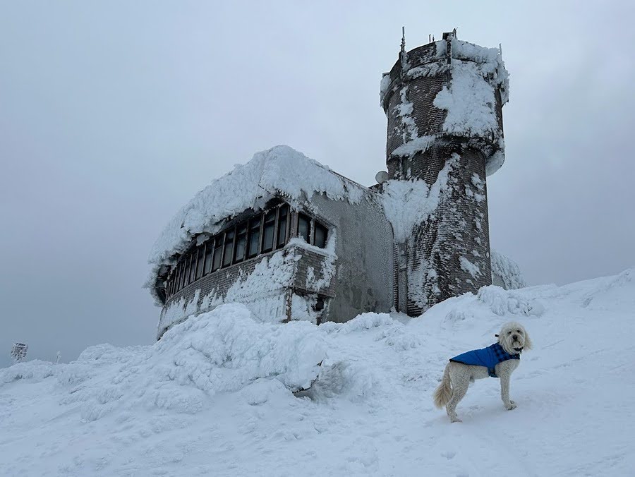
Observation deck and summit tower
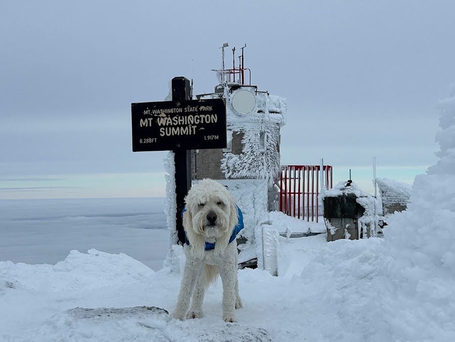
#50!
Carter Range floating above the clouds
Summit deck Sarge!
- Our original plan was to head back down the Cog but we decided to switch it up and take the longer/easier way via the Jewell Trail. As we made our way over to the Jewell Trail junction the weather was too nice to head back down so we continued on.
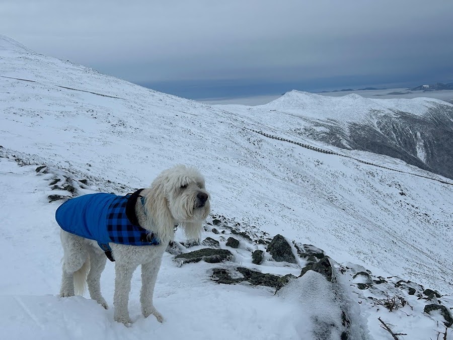
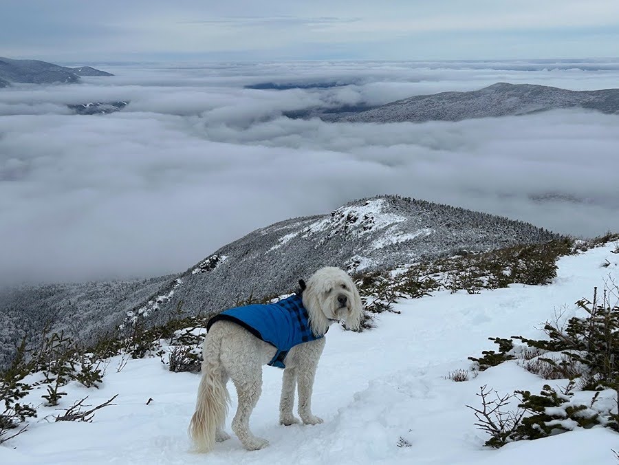
Sarge scopes out the Jewell Trail with Jacob's Ladder, Lakes of the Clouds Hut, and Mount Monroe behind him
- It was just past 9AM and there wasn't a hint of wind, the clouds were not moving down on us, and the storm was still several hours out so we decided an out and back of Mount Jefferson was in order.
- From the junction we dropped toward the Clay Col and that is when Sarge took off running, ahead of him he saw familiar faces, Corey and Ashley, who were out enjoying the mint conditions.
- After chatting with them we took off towards Jefferson making our way up to Monticello Lawn and eventually to the summit.
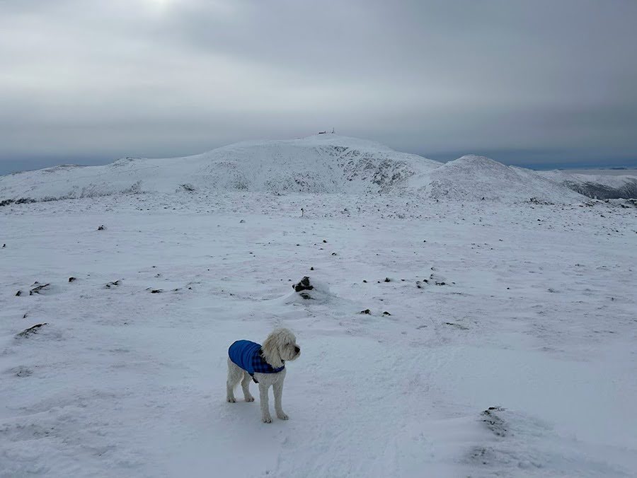
Sarge with Clay and Washington behind him
Monticello Lawn
Sarge making his way up to Mount Jefferson
Carter Range off in the distance
Sarge just below the summit of Mount Jefferson
Sarge on the summit!
- Unfortunately, it was time to head home, so we backtracked to the Jewell junction, banged a right, and slowly made our way back to treeline soaking in all the views as we both knew that days like this are few and far between when it comes to winter in the White Mountains
One happy Dood!
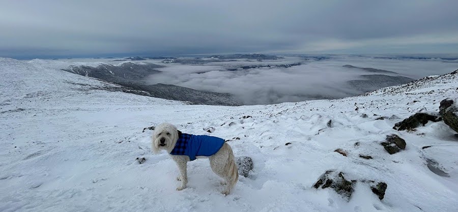
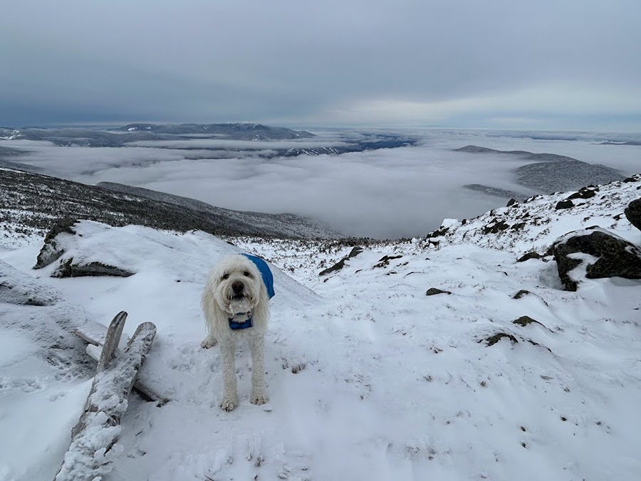
Sea of clouds. Eisenhower to the immediate left, far left in the back is Carrigain, Willey is to the right, and the peaks that make up the Pemi make up the backdrop
Treeline on Jewell Trail

